Website: www.geoparquepirineos.com
 SOBRARBE GEOPARK. THE PYRENEES GEOLOGICAL PARK
At the heart of the southern slopes of the Pyrenees is Sobrarbe. An area which dates back to medieval times, where the Romanesque churches, castles and large mansions tell us of centuries of history. However, the mountains are the most vocal and their rocks tell us of the last 500 million years of Earth’s past.
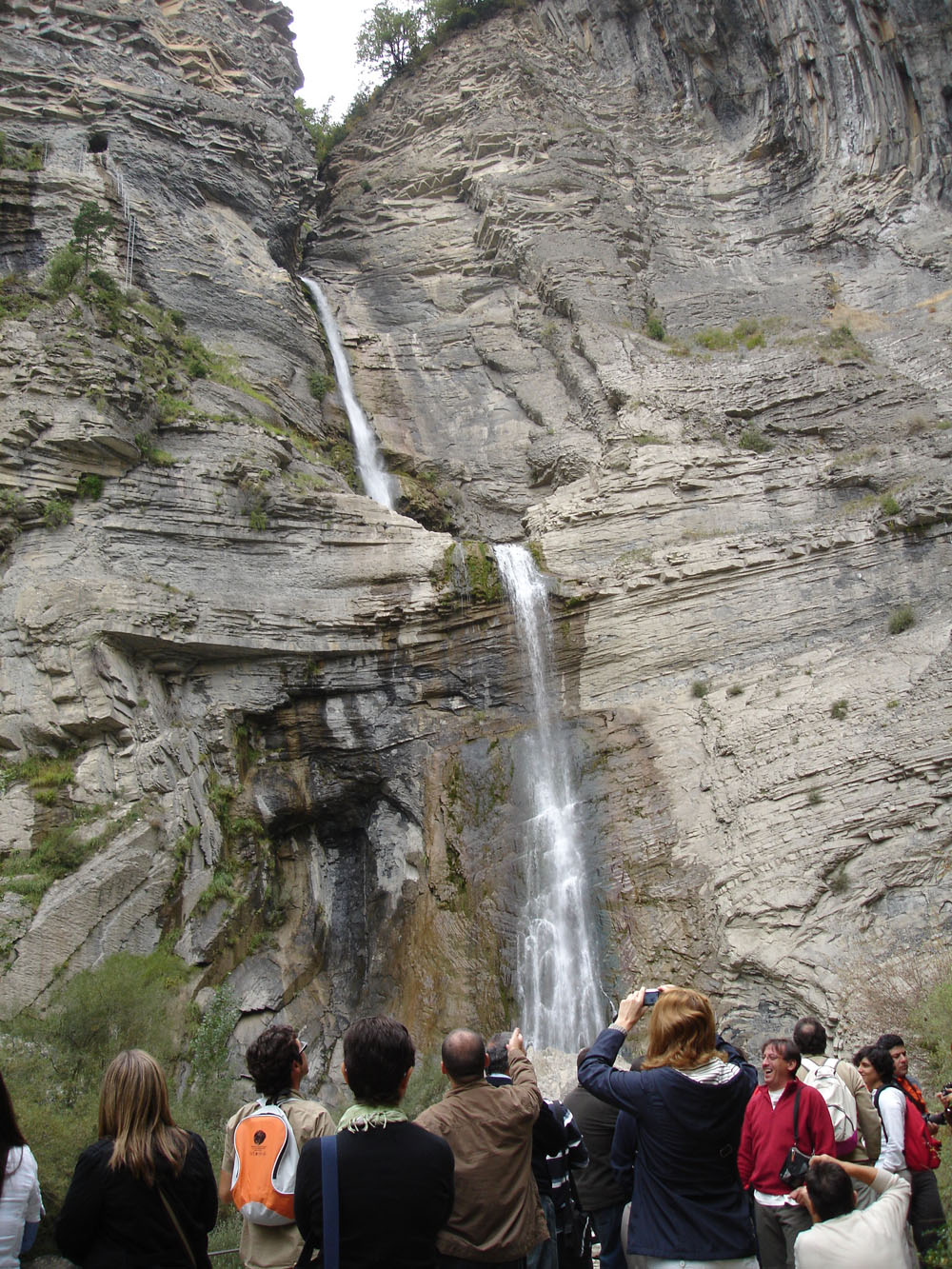
The loftiest part of a diverse mountain range with evidence of ancient seas, two orogenies, the southernmost glacier in Europe, many active processes, impossible folds and a labyrinth of caves still to be explored … the treasured geodiversity of the Sobrarbe Geopark never ceases to amaze.
Sobrarbe covers an area of 2.200 km² with just 7.000 inhabitants. A geographically complex territory, sparsely populated it inevitably shelters a wide variety of flora and fauna. The altitudinal range from the Llardana peak 3.375 meters above sea level down to 400 meters at the El Grado reservoir.
Scattered villages and small towns with traditional architecture blend in perfectly with the geological landscape that surrounds them and which has remained in excellent condition up to the present day, surrounded by emblematic sites such as the National Park of Ordesa and Monte Perdido, the Sierra and Canyons of Guara Nature Reserve or Maladeta Posets.
The north of the Geopark possesses the oldest rocks. Old Cambrian slates and quartzites are the foundation of a suite of sedimentary and metamorphic materials, along with three granitic plutons, representing the entire Paleozoic. The remains of the old Variscan mountains scattered across half of Europe also flourish here with their complicated structures and fascinating folds
 From here rises a huge limestone barrier known generically as the Inner Sierras. And this is undoubtedly the hallmark of the Pyrenees and the Geopark, the limestone mountains with their architecture thrust-sheets cleaved by huge canyons. The massif of Monte Perdido or Treserols (3.355m), Cotiella (2.912m) or Montañesa Peña (2.291m) are true icons of this land. Cretaceous and Tertiary rocks intensely deformed, part of mythic structures within the Pyrenean geology like the mantles of Cotiella and Gavarnie. Essential to the understanding we have of this range.
Further south, the altitude decreases and the climate softens but not the geology. Ainsa Basin is a key element in the geological history of the Pyrenees. Confined between two large anticlines, it contains sediments ranging from turbidites to deltaic systems and platforms and concludes with a coating of purely continental alluvial materials, as the sea retreated permanently from the old Pyrenean basin.
The epicentre of the Geopark is located in Ainsa Castle aucasinosonline.com/sa/. In its southeast tower you can visit the Geopark Space, a complete interpretive centre where visitors can get an idea of the geological richness of Sobrarbe, its rocks and the processes that have folded and modelled it. In the north tower, above the office of tourism, the technical department provides support to researchers working in the area. The Geovision room is the setting for photo exhibitions, lectures and courses that the Geopark regularly organizes in order to share the value of its geological heritage.
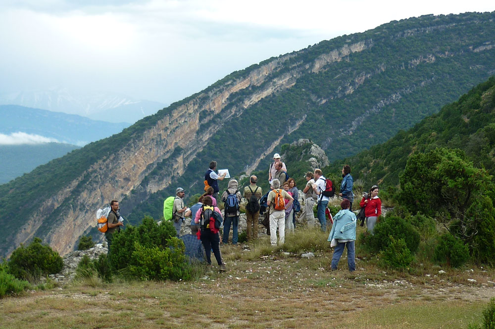
") A network of information panels help the understanding of symbolic points of Pyrenean geology by car or mountain bike. In Parzán, a mining route shows us the details of minerals and the modes of exploitation of this wealth extracted from the surface of the Earth. For lovers of mountain biking there are 13 routes with a total of 52 panels depicting the geology seen along each route.
A network of information panels help the understanding of symbolic points of Pyrenean geology by car or mountain bike. In Parzán, a mining route shows us the details of minerals and the modes of exploitation of this wealth extracted from the surface of the Earth. For lovers of mountain biking there are 13 routes with a total of 52 panels depicting the geology seen along each route.
Contact
Sobrarbe Geopark. The Pyrenees Geological Park
Avda. Ordesa, 79 – 22340 BOLTAÑA (Huesca) Spain
Tfno: 00 34 974 51 80 25
Sobrarbe Geopark Manager, Ana Ruiz Conde. administración@geoparquepirineos.com
Scientific Coordinator, Ánchel Belmonte Ribas: anchelbr@unizar.es
Website: www.geoparquepirineos.com